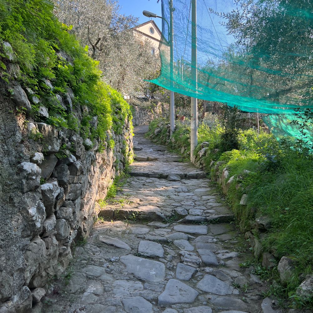
This itinerary starts in the centre of Massa Lubrense from the square between the ex-cathedral and the Town Hall. Walk up the road passing the gardens with the fountain. Cross the road and go left into the alley (Via Vecchia) by the butcher’s shop. Keep on walking until you come out onto the main Massa – Sant’Agata road which you should cross carefully. Continue opposite along Via Bagnulo, a paved, bending road going slightly uphill, paying attention to. the waymarks and the map. After four right-angled bends you will come to a T junction: itinerary 35 continues to the right whilst itinerary 23 goes left to Sorrento having up until then shared the route. After 200m you will come to the large square of San Francesco, where every Friday morning a market is held. Walk along the wide road for around 100m before turning left into a paved alley that soon comes out onto a wider road, Via San Francesco. Continue uphill and, after 150m, leave the road, taking the steps to the right (Traversa San Francesco). At the top you will come to a shed. Turn right here onto a narrow well-trodden path passing through hazelnut and olive groves. Remembering that you must always go uphill do not follow the tempting lane descending to the right around 100m further on. The path becomes a road and when this levels out, go up a short set of steps on the left and then, immediately afterwards, a longer and wider flight of steps, always to the left. Walk along the lane for around 450m (the first part is steep, the second level) admiring the views of the Bay of Naples until you cross itinerary 14 Sorrento – Monticchio. In order to continue to Sant’Agata, walk downhill for a few meters to the left and then turn immediately right onto the wider main Acquara – Pastena road. After 500m, a few meters after an arch, the route coincides with itinerary 55, both proceeding to the church of the village of Pastena. Walk down the narrow lane to the left of the church and in about 200m you will come to the Chapel of San Sebastiano. Straight after that, itinerary 45 goes right to Monticchio. To get to Sant’Agata, however, keep straight on, walking alongside the rivulet that starts from the spring at Canale. Here you can admire the ancient washhouses still used by numerous housewives thanks to the quality of the water before continuing to the right along Via Fonte di Canale. In around 450m you will come into Sant’Agata near the SITA bus stop.
No elevation data
| Name: | No data |
| Distance: | No data |
| Minimum elevation: | No data |
| Maximum elevation: | No data |
| Elevation gain: | No data |
| Elevation loss: | No data |
| Duration: | No data |


