This itinerary passes through 3 different municipalities located towards the end of the Sorrento peninsula (Sant’Agnello, Sorrento and Massa Lubrense). The first 400 metres have the same waymarks as the CAI300 path.
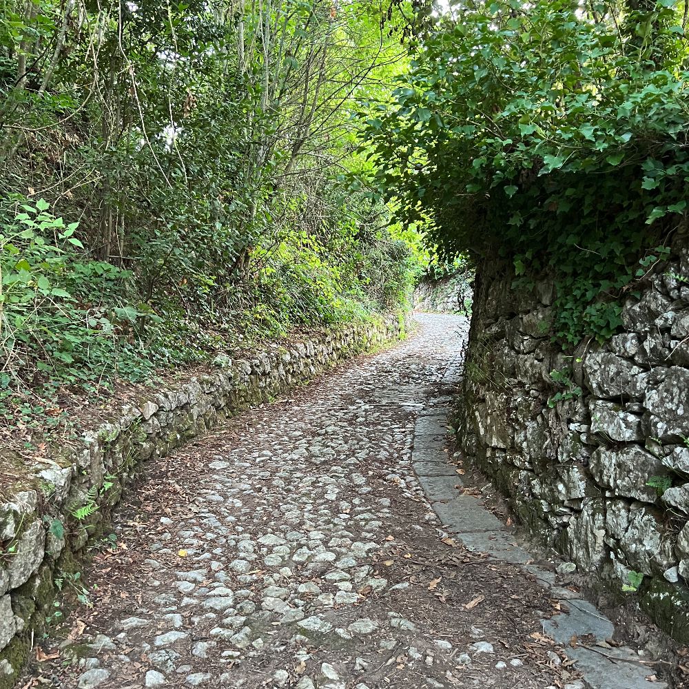
The route starts in Piazza Sagristani, Colli di Fontanelle, going immediately uphill along Via Pietrapiana. Continue straight on until you come out onto the main road. Carefully cross the road to the steps opposite, always along Via Pietrapiana. Once back on the main road, turn left, cross over and after 60 metres turn right onto a dirt track at the side of a house. This will bring you once more onto the main road where, turning left and crossing over to the other side, you will come to a steep lane to the right thirty metres further on, which starts off asphalted, then cobbled before turning into a dirt track. Keep on going straight ahead and you will come to some very steep, rough steps taking you up to the side of a house opposite the Gulf of Salerno. Turn right continuing along a better surfaced lane that goes gently up and down. At the end of a short stretch uphill, you will come to a widening where you can go into the Delle Tore pinewood. Our itinerary continues along a very panoramic road alongside the pinewood, with the Gulf of Salerno and Li Galli islands always in sight. Along the way you will see several other entrances to the pinewood, so if you wish, you can alternate the road with paths in the woods, choosing either the central avenue or the route to the north with its views of the Bay of Naples and Vesuvius. (N.B. – At the moment some areas of the woods are off limits so please pay attention to the notices). Keep on going straight ahead and you will come to a T junction where you turn left downhill to an entrance with a bar across it. Go past the bar and into the lane and continue walking through the olive groves. Once past an intersection on the left, you will soon come to a viewpoint above the Terranova Agriturismo overlooking the islands of l’Isca (previously owned by Eduardo De Filippo) and Li Galli. Continue straight ahead following the road for another 900 metres until you come to the main road where, turning left, 150 metres further on you will come to a T junction. Turn left again and after another 100 metres the itinerary finishes in Largo Ludovico da Casoria, near the tourist info point and the bus stop.


